How the Future of Underground Mapping Can be Found in the Cloud

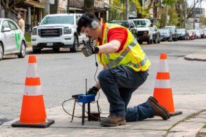
underground mapping illustration

By Michael A. Twohig


In the late 1800s, America experienced a monumental shift as people moved from rural areas into growing industrial and trade centers. Boston was one of those great American cities that experienced the resulting population boom. To respond to the growing demands on Boston’s antiquated infrastructure, city planners and urban designers needed to rebuild outdated systems, replace failing facilities and develop new transportation systems to move the masses.

Continue Reading

This archived story is available after you provide your email address and accept our Privacy Policy.

This field is for validation purposes and should be left unchanged.
Benjamin Media uses the information you provide to us to contact you about our relevant content, products, and services. Benjamin Media will share the information you provide to us with sponsor(s) of requested content. You can unsubscribe from communications from Benjamin Media at any time. For more information, check out Benjamin Media's Privacy Policy.*

Benjamin Media uses the information you provide to us to contact you about our relevant content, products, and services. Benjamin Media will share the information you provide to us with sponsor(s) of requested content. You can unsubscribe from communications from Benjamin Media at any time. For more information, check out Benjamin Media's Privacy Policy.

Leave a Reply

Your email address will not be published. Required fields are marked *